


Planning your trip to Harbour Island starts with understanding exactly where you’re headed. This guide offers a clear Bahamas to Harbour Island Map, travel tips, and everything you need to know to arrive smoothly and stress-free.
Just off the northeastern coast of Eleuthera in the Out Islands of The Bahamas, Harbour Island is a postcard-perfect destination. Its location makes it easily accessible while still feeling like a secluded escape. The main settlement is Dunmore Town, a charming, walkable village filled with pastel homes and friendly locals.
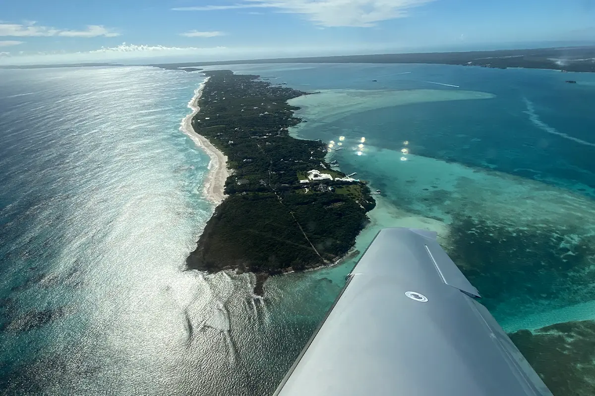
To better visualize your journey, the Bahamas to Harbour Island Map shows the proximity between Nassau, North Eleuthera Airport, and the short water crossing to the island itself. Whether you’re flying in from the U.S. or connecting via Nassau, you’ll notice the transfer route is short and scenic.
From the U.S., travelers fly into North Eleuthera Airport (ELH), then take a brief taxi ride to Three Island Dock, followed by a 10-minute water taxi. Total transit time from Florida is about 2.5 to 3 hours. Daily flights operate from Miami, Fort Lauderdale, Atlanta, and Charlotte via carriers like American, JetBlue, Delta, and Silver Airways.
Alternatively, visitors flying from Nassau can take a 20-minute flight to ELH or board the Bohengy Express ferry, which departs several times per week and arrives in about 2.5 hours.
Golf carts are the main mode of transportation, available for rent upon arrival. U.S. dollars are accepted everywhere, though cash is preferred for taxis and tips. Mobile roaming is available with most U.S. carriers, and Wi-Fi is accessible in hotels and restaurants. For updated and accurate Harbour Island Info, it's worth checking local resources before departure.
With its soft pink beaches, boutique resorts, and understated charm, Harbour Island feels worlds away from the bustle of Nassau. The journey might involve a few transfers, but once you’re there, the island’s unique mix of luxury and laid-back ease will make it feel more than worth it.